UNITAC promotes open and participatory data governance and digital platforms, innovations related to mapping, spatial analysis, data visualization, and people-centred smart cities for a sustainable urban future.
Learn more about UNITAC's methodology and people-centred approach.


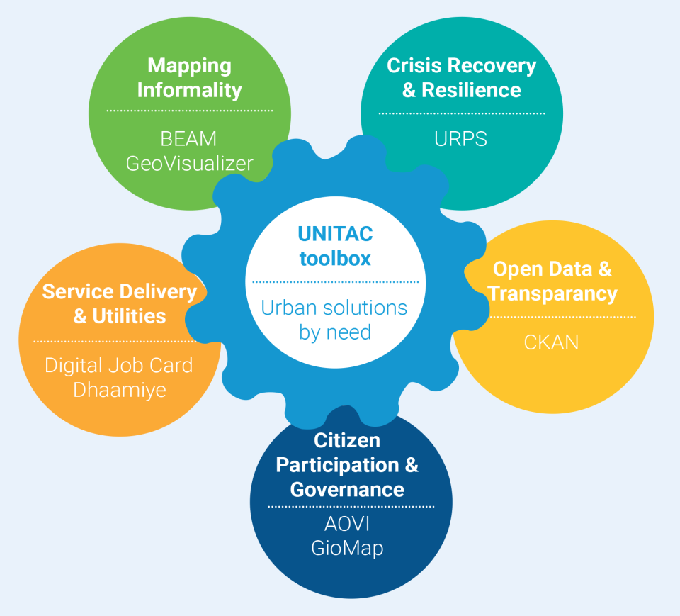
UNITAC has developed and tested a wide variety of tools and technology in the urban context:
- Interactive and AI-based mapping applications
- Digital participation tools for citizen/stakeholder engagement
- Co-designing and collaboration tools
- Scenario planning software
- Location finding tools
- Data storytelling
- Urban data platforms and dashboards
- VR/AR technologies
- AI/ML applications
- Remote sensing technologies
- Digital Twin solutions
- Simulation and modelling tools
UNITAC Toolbox
UNITAC tools booklet

Access the tools booklet for more information on each tool.