
UNITAC-Hamburg provides training on people-centred smart cities to city leaders in Brazil, Kenya and Egypt

Throughout 2025, the United Nations Innovation Technology Accelerator for Cities (UNITAC-Hamburg) delivered a series of trainings to city leaders on people-centred smart cities in Brazil, Kenya and Egypt. The sessions were co-organized in partnership with the relevant UN-Habitat country offices and local stakeholders.
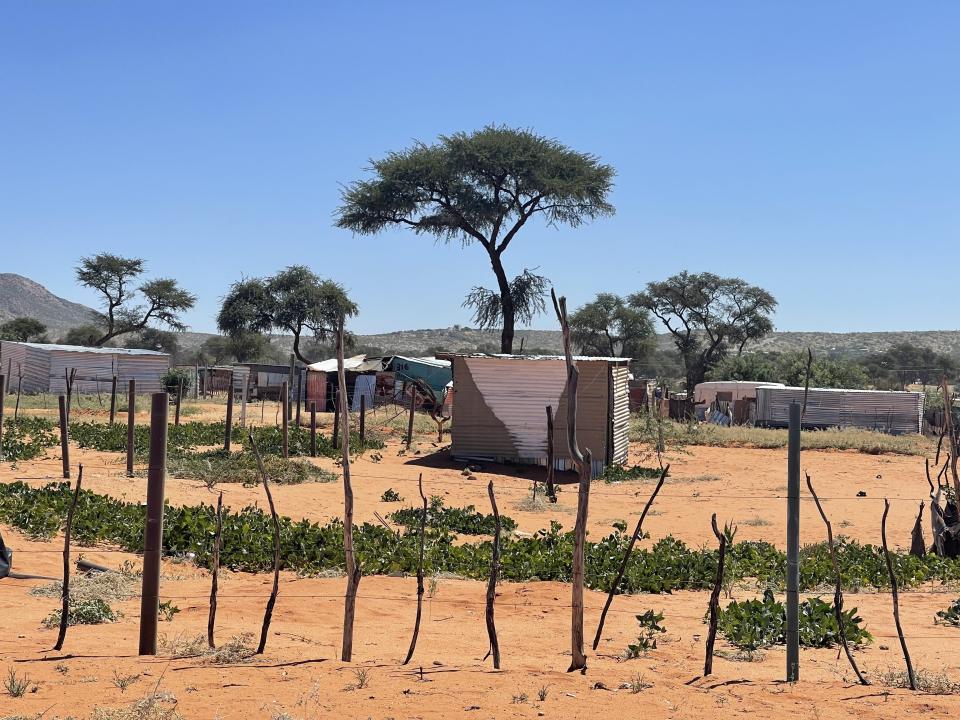
Digital tools and data for strengthening climate resilience and upgrading informal settlements in Namibia

UNITAC and its municipal partners co-developed the Digital Job Card tool — a web and mobile application that transforms the process of creating, assigning, and tracking job cards for urban services into a streamlined digital workflow.
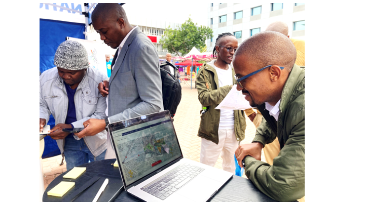
Creating safer streets using open source data – Experimenting with data for urban planning in the city of Maceió, Brazil

Read the full article with the main findings derived from the research into relevant tools for better data collection and management in the city of Maceió. A case study and pilot tool to demonstrate how open data can be used for public policy and decision making processes in also included.
How can we use digital solutions to improve basic urban service delivery?
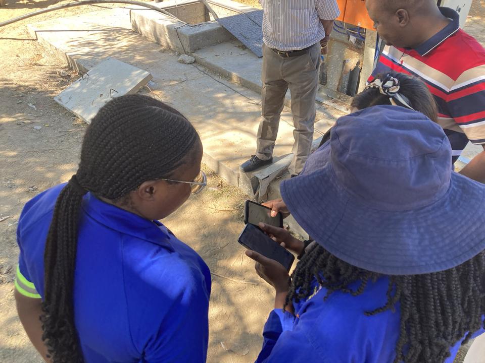
As part of a three-year project, UNITAC supports various towns in Namibia with data-driven decision-making and the implementation of innovative digital solutions.
UNITAC-Hamburg strengthens partnerships and advances digital solutions during Namibia mission
A UNITAC-Hamburg delegation visited Namibia in April 2025 to advance collaboration on urban innovation, just transitions, and climate resilience. The mission strengthened partnerships with national and local stakeholders, supported capacity-building activities, and advanced the development of digital tools such as the Digital Job Card and Smart City Strategy for Windhoek.
Supporting sustainable urban recovery in Ukraine

UN-Habitat has started activities in Ukraine to support the country’s urban recovery efforts, including sustainable and inclusive urban recovery planning across the country.
Read the full article on the UN-Habitat's website.
How Knowledge Graphs can help analysing risk and resilience in cities

UNITAC Hamburg created the City Resilience Tool. A model, that through the use of knowledge graphs can help analyse risks and improve the resilience of urban systems by providing cities with information on potential shocks, vulnerabilities and stresses.
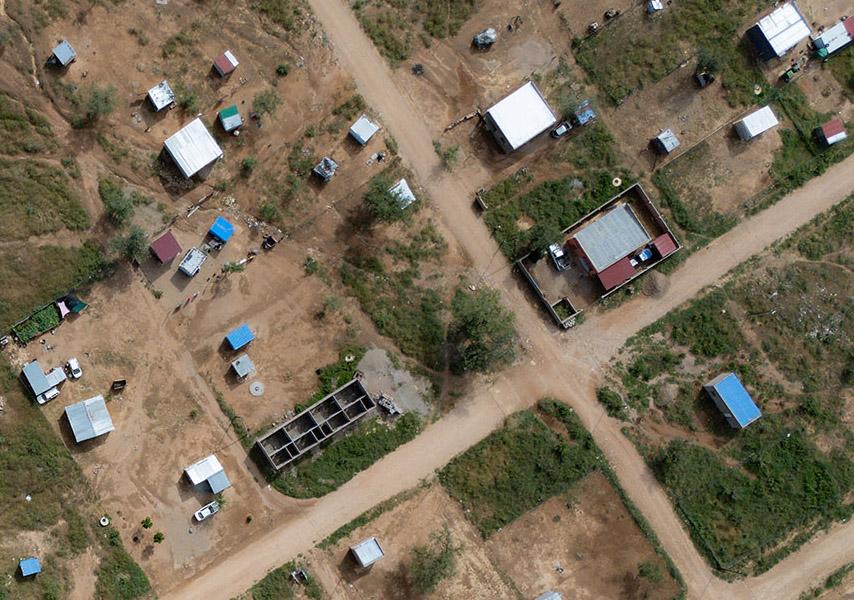
Upgrading informal settlements using Artificial Intelligence for better city planning

To support the eThekwini municipality in automating their building mapping process, the UNITAC team developed BEAM (Building & Establishment Automated Mapper), a software that uses Machine Learning to radically accelerate the spatial recognition of buildings and keep track of changes in the built-up area or density.
Bridging the gap: how digital transformation enhances water access for vulnerable communities in Hargeisa

In partnership with the Hargeisa Water Agency, a digital water platform is being introduced in Hargeisa, connecting users in disadvantaged settlements who lack piped water to certified water vendors via mobile-based orders.
Leveraging local expertise to enhance urban sustainability with BEAM

UNITAC team facilitated the launch of the Building and Establishment Automated Mapper (BEAM) tool and, in partnership with the Human Settlement Unit from the eThekwini Municipality, hosted a Project Advisory Meeting in the city of eThekwini, South Africa.
Enhancing livelihoods and empowering communities: urban technology & collaboration in informal settlements
Enhancing livelihoods and empowering communities, a Symposium journey in Namibia.
Participatory urban planning to support the transformation of the Segoditshane river corridor
UNITAC in collaboration with the Department of Town & Country Planning of Botswana (DTCP) and the Botswana Digital & Innovation Hub (BDIH) hosted a 2-day Digital Participatory Planning workshop in Gaborone.
What data projects mean for informal settlements
Tagesspiegel Background article: Insights from Prof. Dr. Gesa Ziemer, UNITAC Academic Lead and Head of City Science Lab, in Hamburg.
UNITAC project and office locations

Subscribe to our Newsletter
Receive UNITAC news, events and open calls directly to your inbox.